-550x550.jpg "XGRIDS RTK Standard Kit – High-precision positioning module")


-80x80.jpg "XGRIDS RTK Standard Kit – High-precision positioning module")


- Stock: In Stock
- Product code: RTK Standard Kit
- Weight Brutto: 0.30кг
More from this brand


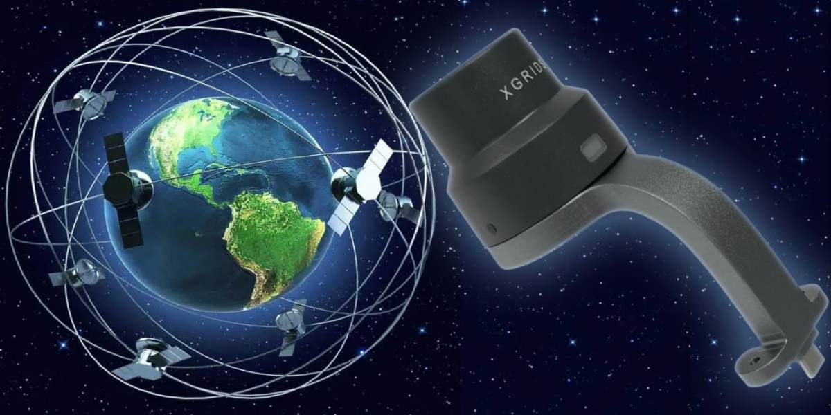
XGRIDS RTK Standard Kit: Positioning with centimeter accuracy
XGRIDS RTK Standard Kit is a compact and reliable hardware module that extends the capabilities of the XGRIDS Lixel L2 Pro system, adding real-time centimeter-level satellite geopositioning to the LiDAR scanner process. The accessory is effective for open areas with a stable signal. For difficult conditions with signal loss, the Survey Grade RTK Kit module is more suitable.
Technical specifications of the RTK Standard Kit from XGRIDS
- Satellite system support: GPS (L1/L2/L5), GLONASS (L1/L2), BDS/BeiDou (B1/B2/B3), Galileo (E1/E5a/E5b/E6b)
- Horizontal accuracy: 0.8 cm + 1 ppm; vertical accuracy: 1.5 cm + 1 ppm
- Package contents: RTK module itself, mounting bracket for L2 Pro, and a set of screws for quick installation (secured with only two screws)
Features and benefits of using the RTK module
- Reduced post-processing: thanks to the real-time RTK function, the module allows you to immediately get precise georeferenced point clouds without frame-by-frame manual correction.
- RTK-fusion capability: it combines geodetic corrections with the visual system and IMU, ensuring a stable trajectory and absolute coordinates in real time.
- Simplified work logistics: easy to mount - two screws take minimal time and don't require specific tools
- Laserscanning-Europe Online-Shop.
- Maximum accuracy in the field: in open areas with a good RTK signal, the accuracy is up to a centimeter; when switching to SLAM without an RTK signal, the accuracy is maintained at about 5 cm for distances up to 50 m and up to 10 cm for 100 m.
Where the use of an RTK module is economically justified
Using the Standard Kit for military purposes
Military construction requires centimeter-level positioning accuracy. The use of the RTK Standard Kit for military purposes can provide high accuracy and other advantages:
High-precision georeferencing of objects
When designing and constructing military infrastructure (fortifications, runways, engineering structures), it's required that all objects are precisely integrated into the coordinate system. The RTK module allows you to immediately link the point cloud to global coordinates, which reduces the likelihood of errors in design and planning.
Rapid deployment and quality control
In conditions of limited time (training or real combat operations), it is important to minimize the "survey - design - construction" cycle. RTK allows you to immediately use the scanning data without long post-processing. This enables faster inspection of site readiness and control of the geometry of constructed objects.
Work on large territories
Military facilities are often located in vast areas (training grounds, warehouses, bases). Using only SLAM without RTK provides accurate models, but without global referencing. RTK solves this problem: you can build general maps, combine data from different scans, and ensure compatibility with military GIS systems.
Engineering reconnaissance and camouflage
Military engineering requires accurate data on the terrain. It's important to understand where it is best to place trenches, dugouts, and shelters for equipment. With RTK support, you can get digital terrain models with real georeferencing and use them to plan hidden objects or vehicle routes.
Compatibility with other navigation systems
The military often uses its own correction stations or closed GNSS networks. The RTK module supports multi-system operation (GPS, GLONASS, Galileo, BeiDou), which increases resistance to interference and ensures accuracy even in conditions of limited access to standard GPS.
In military construction, the RTK module is needed for fast, accurate, and reliable 3D modeling of terrain and objects. It speeds up design, reduces the risk of errors during construction, facilitates data compatibility with military navigation systems, and helps in engineering reconnaissance.

Using the RTK Standard Kit for civilian purposes
Topographic survey and cartography
Real-world positioning with centimeter-level accuracy is critically relevant, especially for large areas and complex terrain.
Urban planning and cadastre
Reliable modeling of urban infrastructure, facades, and underground utilities—accuracy and minimal errors when combining data are essential.
Archeology and cultural heritage
For scanning highly detailed (up to 1 mm) color point clouds, it's important to correctly link data in geospatial space. RTK ensures accuracy without unnecessary post-processing.
Forest and agricultural mapping
Assessing vegetation cover, forest inventory, and digital landscape modeling require precise positioning.
Time-constrained scenarios
Forensics, emergency situations, inspection—where it is important to quickly get accurate scans and coordinates without delays.
Complex shooting conditions
In cities, forests, and among tall buildings—the RTK module improves the georeferencing of LiDAR data, even when a GPS signal is unavailable.
XGRIDS RTK Standard Kit package contents
- RTK module;
- mounting bracket;
- a set of screws for quick installation (secured with only two screws).
The accessory for accurate 3D scanning, the XGRIDS RTK Standard Kit, is suitable for various fields of activity. Wherever high accuracy is needed when scanning large areas in non-standard conditions, the satellite positioning module will be very useful. Call or write - our managers will help you choose 3D devices and accessories for various tasks.
-250x250.jpg "XGRIDS RTK Standard Kit – High-precision positioning module")


