

- Stock: In Stock
- Product code: 827588000002659825
- Weight Brutto: 1.00kg

More from this brand

-60x60w.jpg "3D scanner Artec Leo")

-60x60.jpg "3D scanner Artec RAY II")
3D Scanner Artec Jet for Mobile LiDAR Mapping of Large Objects and Areas
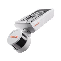
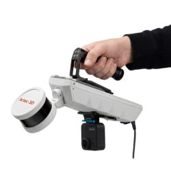
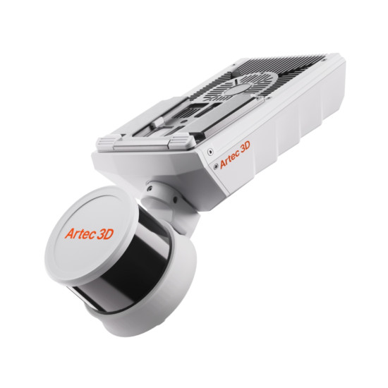
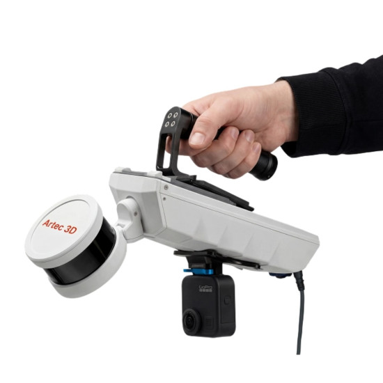
Artec Jet is a mobile 3D scanner based on LiDAR with SLAM positioning, designed for mapping buildings, industrial sites, infrastructure, and large areas, with a measurement range of 0.5–300 m, data collection speed up to 1.920.000 points/s, and the ability to operate without GPS. The scanner can be used manually or mounted on a backpack, vehicle, robotic platform, or drone for capturing large and hard-to-reach areas.
Advantages of Artec Jet
- LiDAR measurement range from 0.5 to 300 m;
- collection of up to 1.920.000 points/s in triple return mode;
- mapping accuracy up to ±10 mm indoors and underground;
- mapping accuracy ±15 mm in general conditions;
- change detection accuracy up to ±5 mm;
- field of view 360° × 290°;
- operation in environments without GPS access thanks to SLAM positioning;
- flexible installation options for manual, ground, and aerial scanning;
- protection rating IP65 enhances equipment protection during operation in dusty and humid conditions;
- weight 1.57 kg simplifies scanner transportation and manual operation;
- laser class 1, eye-safe.
SLAM Mapping Without GPS
Artec Jet combines LiDAR scanning with SLAM technology — simultaneous localization and mapping. While moving, the system determines its position relative to the surrounding geometry and forms a spatial point cloud.
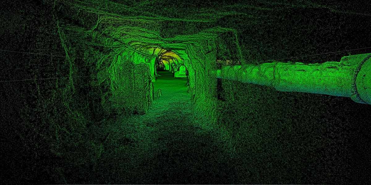
This principle allows data collection in buildings, tunnels, mines, industrial structures, and other places where satellite signals are absent or unstable. Drift during SLAM mapping is ±0.03%.
Active LiDAR laser scanning does not require external lighting, so scanning is possible even in complete darkness.
Fast Data Collection Over Large Areas
Artec Jet forms dense point clouds with a field of view of 360° × 290°. The data acquisition speed depends on the mode:
- single return — up to 640.000 points/s;
- triple return — up to 1.920.000 points/s.
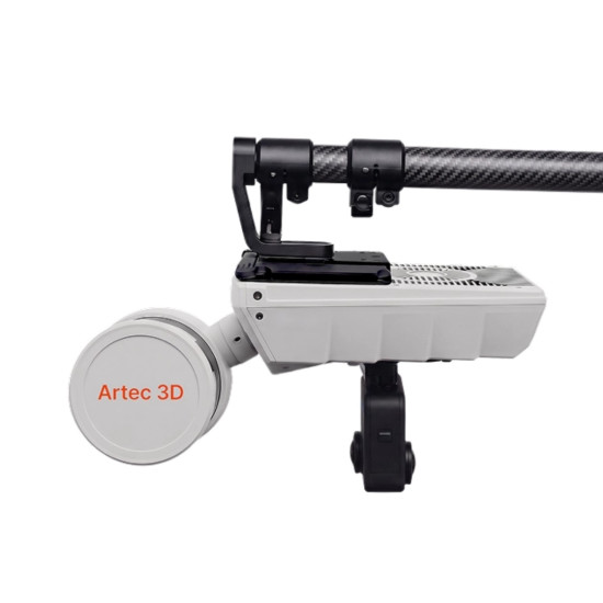
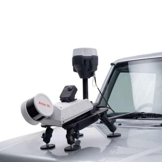
Artec Jet supports scanning from a vehicle and drone while the platform is moving, allowing spatial data collection over large areas without the need to work only from a static position.
Seven Usage Options
Artec Jet can be adapted to different shooting conditions without changing the main scanning module. The following usage options are available:
- manually;
- on a backpack;
- on a drone;
- on a vehicle;
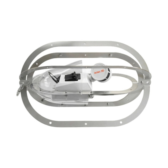
- in a protective frame;
- on a telescopic pole;
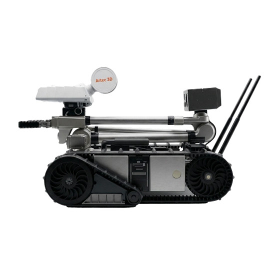
- on a robotic platform.
This allows using one system for both pedestrian surveying of buildings and mapping roads, industrial sites, underground areas, or hard-to-reach structures.
On-Site Result Verification
During operation, Artec Jet transmits a preview of the point cloud to the accompanying application in real-time. The operator can control the coverage of the area during shooting and check the obtained data before completing the work on-site.
This allows timely detection of insufficiently covered areas and avoids the need for a repeat visit due to missing data.
Georeferencing with GNSS and RTK
For projects requiring geographical referencing of results, Artec Jet supports working with additional RTK equipment. Satellite coordinates and RTK corrections allow increasing global accuracy and reducing dependence on ground control points.
During further data processing, Artec Twins supports georeferencing by control points, RTK data, or their combination.
Autonomous Drone Scanning
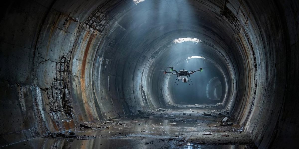
Artec Jet can be used as a scanning module for compatible unmanned platforms. In autonomous mode, the system supports navigation by specified points and route construction even in environments without GPS.
For safe flight, comprehensive obstacle detection with a field of view of 360° × 360° and a working range of 1.2–40 m is provided. The system can detect wires with a thickness of 2 mm, which is important when working in confined and difficult-to-navigate areas.
Automatic return via a safe route is also supported in case of low battery or excessive dust detection.
Data Processing in Artec Twins
For processing large datasets, Artec Jet uses the Artec Twins software platform. It covers the main stages of working with obtained point clouds:
- raw data processing;
- drift correction;
- georeferencing;
- automatic control mark detection;
- coordinate reprojection;
- merging multiple scanning sessions;
- data visualization;
- panorama overlay;
- filtering by height, intensity, and time;
- surface noise reduction;
- measurement;
- comparison of changes between datasets.
For further work, data can be exported in standard point cloud formats, including LAS, LAZ, PLY, and E57. The Artec Twins workflow also provides DXF export.
Color Point Clouds
By default, Artec Jet records the LiDAR point cloud along with signal intensity data.
To obtain a colored RGB point cloud, a compatible additional camera can be installed on the scanner. During processing, Artec Twins combines images with the point cloud geometry, adding color and visual context to the scanning results.
Operation in Challenging Conditions
The Artec Jet housing has a protection rating of IP65, which enhances equipment protection during operation in dusty and humid conditions. The operating temperature range is from -10 to 45 °C.
Thanks to SLAM positioning and active laser scanning, the scanner can operate in dark, dusty, underground, and other environments where satellite navigation is difficult or impossible.
Applications
Artec Jet is primarily designed for large-scale spatial digitization. Main applications include:
- creating digital twins of buildings, structures, and areas;
- executive documentation and recording the actual state of an object;
- creating BIM models based on scan data (Scan-to-BIM);
- building and industrial site surveys;
- change control;
- volume measurement;
- detection of spatial collisions;
- construction site planning;
- topographic surveying;
- object and infrastructure management;
- road network mapping;
- underground workings and tunnel surveys;
- digitization of industrial sites and equipment;
- data collection in dangerous and hard-to-reach places.
Compatibility and Additional Equipment
Artec Jet supports installation on compatible unmanned platforms:
- DJI M300;
- DJI M350;
- Freefly Astro Max.
To expand system capabilities, additional accessories are available, including a backpack, magnetic or vacuum vehicle mount, telescopic pole, protective frame, long-range radio module, display kit, RTK base stations, control marks, and a camera kit for obtaining color data.
Additional equipment is purchased separately.
What's in the Box?
The standard Artec Jet package includes:
- 3D scanner;
- battery;
- charger;
- handle;
- cable bag;
- battery cable for pedestrian scanning;
- battery belt mount;
- international power adapter kit;
- quick start guide.
Technical Specifications
Scanning and Accuracy
| Parameter | Value |
| Mapping method | LiDAR with SLAM |
| SLAM drift | ±0.03% |
| LiDAR range | 0.5–300 m |
| LiDAR accuracy | ±10 mm |
| Mapping accuracy in general conditions | ±15 mm |
| Mapping accuracy indoors / underground | ±10 mm |
| Change detection accuracy | ±5 mm |
| Field of view | 360° × 290° |
| Data collection, single return | up to 640.000 points/s |
| Data collection, triple return | up to 1.920.000 points/s |
Operating Modes and Mobility
| Parameter | Value |
| Scanning speed from a vehicle | up to 60 km/h |
| Scanning speed from a drone above ground | up to 5 m/s |
| Scanning speed from a drone underground | up to 2 m/s |
| Mounting modes | Manual, backpack, drone, vehicle, protective frame, telescopic pole, robotic platform |
| Quick-release mount | Yes |
| Compatible drones | DJI M300, DJI M350, Freefly Astro Max |
Design and Operating Conditions
| Parameter | Value |
| Laser class | Class 1, eye-safe |
| Protection rating | IP65 |
| Operating temperature | -10–45 °C |
| Weight | 1.57 kg |
| Power supply | 14–54 V, 64 W |
Memory, Connectivity, and Data
| Parameter | Value |
| Built-in memory | 512 GB |
| USB | Yes |
| Wi-Fi | Built-in antenna |
| Point cloud formats | LAS, LAZ, PLY, E57 |
| Output data | Full-size point cloud, thinned point cloud, trajectory file |
| Point data | Intensity, distance, time, return number, ring number, RGB — optional |
Obstacle Detection
| Parameter | Value |
| Obstacle detection range | 1.2–40 m |
| Wire detection thickness | from 2 mm |
Order the Artec Jet 3D Scanner on Our Website
Have questions? Contact our managers, they will help you choose the necessary equipment for your projects.



-250x250.jpg "3D scanner Artec Eva")
-250x250w.jpg "3D scanner Artec Leo")
-250x250.jpg "3D scanner Artec Leo")
-250x250.jpg "3D scanner Artec RAY II")
-250x250.jpg "3D scanner Artec RAY II")

(1)-250x250.jpg "3D scanner Artec Spider II")
-250x250.jpg "Software for 3D scanner QuickSurface Lite")
-250x250.jpg "3D scanner Artec Point")
-250x250.jpg "3D scanner Artec Point")